 Add Row
  Add Element
Understanding the Current Flood Risks
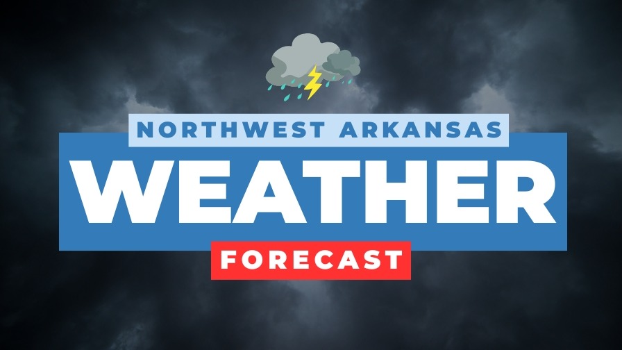
The recent weather report highlights a significant flood watch in effect across Northwest Arkansas and eastern Oklahoma, lasting until 7 p.m. tomorrow. As residents prepare for the night, understanding the implications of heavy rainfall is crucial. Reports estimate that areas could receive between 1 to 3 inches of rain, which poses risks for those in low-lying regions traditionally susceptible to flooding.
In 'Latest Weather | Flood Watch in effect', the weather forecast addresses significant flood risks, prompting a closer look at the necessary precautions for local residents.
Impacts of Heavy Rainfall on Local Geography
As thunderstorms roll in, the risk of localized flooding increases, particularly in communities near rivers and streams. The National Weather Service has urged caution for those in prone areas, as water levels can rise rapidly with the volume of expected rainfall. Residents should remain vigilant, especially if they reside in regions already familiar with flooding challenges during heavy rain.
A Look Ahead: Weather Trends and Safety Precautions
The weather forecast indicates a slowing of rainfall by Tuesday, coupled with a steep rise in temperatures, reaching into the low 90s by the end of the week. This shift from wet to hot reminds us of the unpredictable nature of summer weather in the region. Identifying protective measures, such as ensuring proper drainage around homes, becomes critical during times like these.
If you are in the path of these storms, it is vital to stay updated via local news and weather channels. Prepare for the possibility of flooding by having emergency plans in place and monitoring weather updates closely. Remember, the weather can change rapidly, and being prepared will ensure your safety and that of your loved ones.

 Add Row
  Add
Add 


Write A Comment